0
+
Years Of Experience
Main Shahrah-e-Abassi road , Sukkur Sindh,Pakistan.
+92 715637578
sajjadlandsurvey@yahoo.com
We produce high quality, accurate surveys tailored to your needs and supplied to you within your time constraints.
We're serving in this company for more then 25 years and we have proven to be one of the best in the market.

SLS was established in year 1995 and has since made a name for itself as one of the leading land development services provider. Many of our large client-base of loyal, satisfied organizations and individuals have been availing our services since our beginning. Though we perform the majority of our work in the Pakistan.
We have latest equipment’s to provide top notch accurate services.
Our prices are compressively affordable within the market.
We produce high quality, accurate surveys tailored to your needs and supplied to you within your time constraints. We stay abreast of the latest technical advances and innovations in our field, ensuring that surveys are carried out using the most appropriate and up-to-date equipment and surveying methods.
We treat every project and client individually, ensuring the best service from beginning to end. Our company prides itself on its experience and expertise, and we trust that you will find us friendly and efficient.
We have a proven record of work and have provided land and topographic surveys for a wide variety of prestigious clients. We pride ourselves on the quality of work we provide and ensure that our services are competitively priced and are delivered on time. As a Company, it is our aim to provide a friendly and professional services, dedicated to meeting your particular requirements. Our Land and Building surveying services are individually tailored to your needs
We provide top notch services with finest results in the market.
")
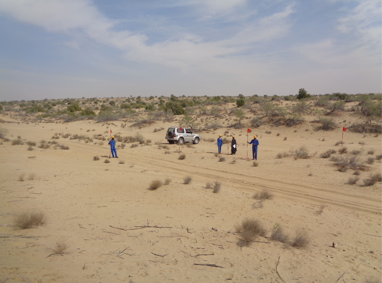
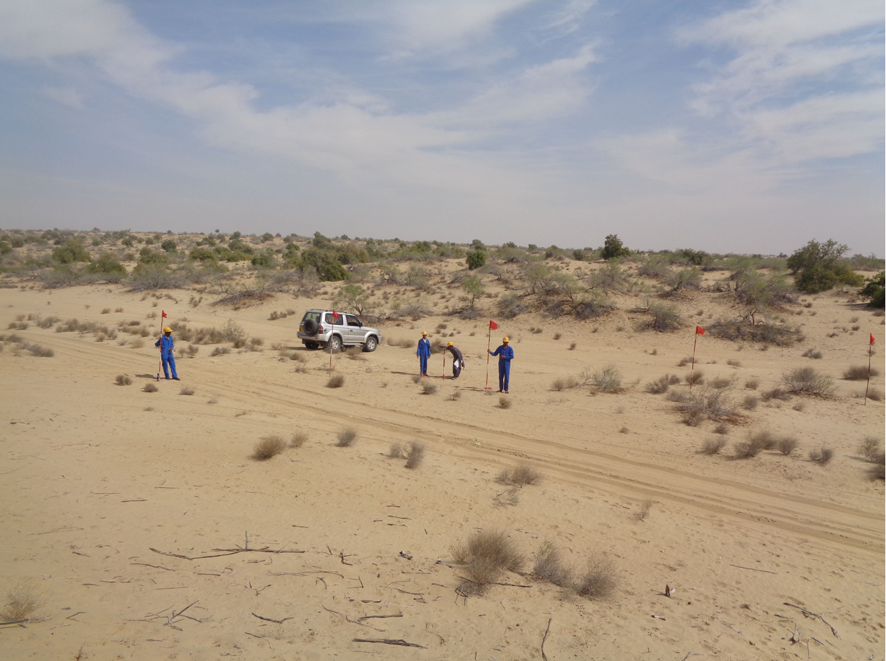
This can be a mixture of open land and the urban environment that needs to be surveyed. The coordination of man made structures and infrastructure alongside the natural world. The precise positioning and level of this is vital to the design and build of new developments.

These types of surveys are self explanatory. They are surveys of existing estates, roads, footpaths etc. They can be used as conveyancing
drawings to sell newly built houses, to check positions or record buildings before demolition and so on.
")
Topographical Surveys provide an accurate 3D representation of any natural or man-made physical feature. Key decisions can then be made relating to the development of your land and property, based on accurate information.
We Ensure to meet deadlines with accurate results.
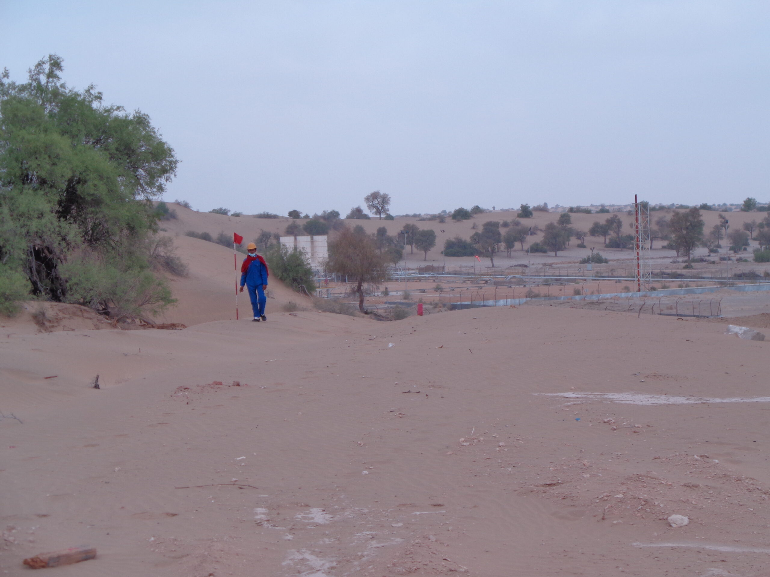
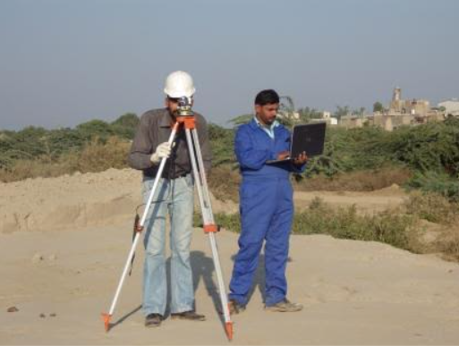
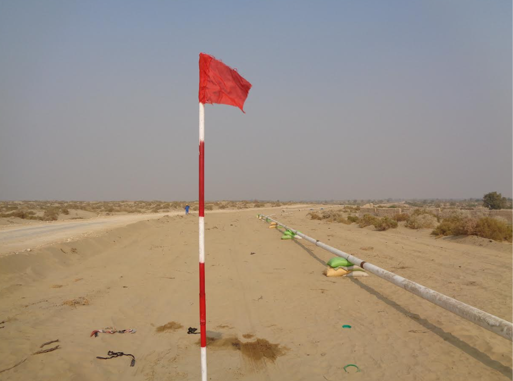
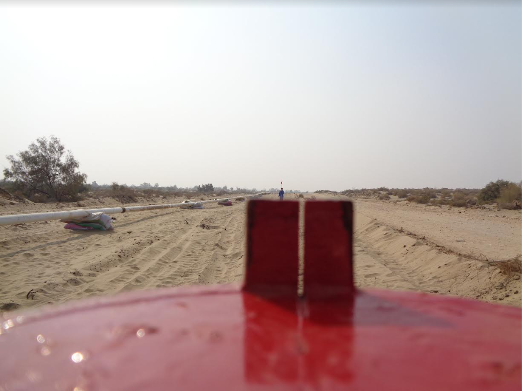
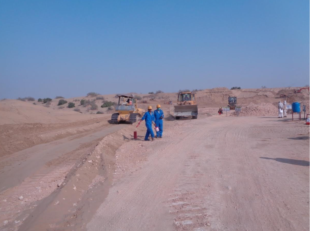
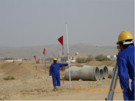
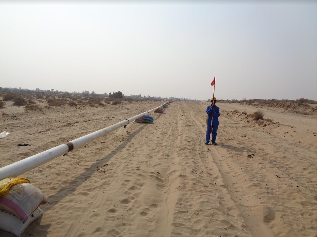
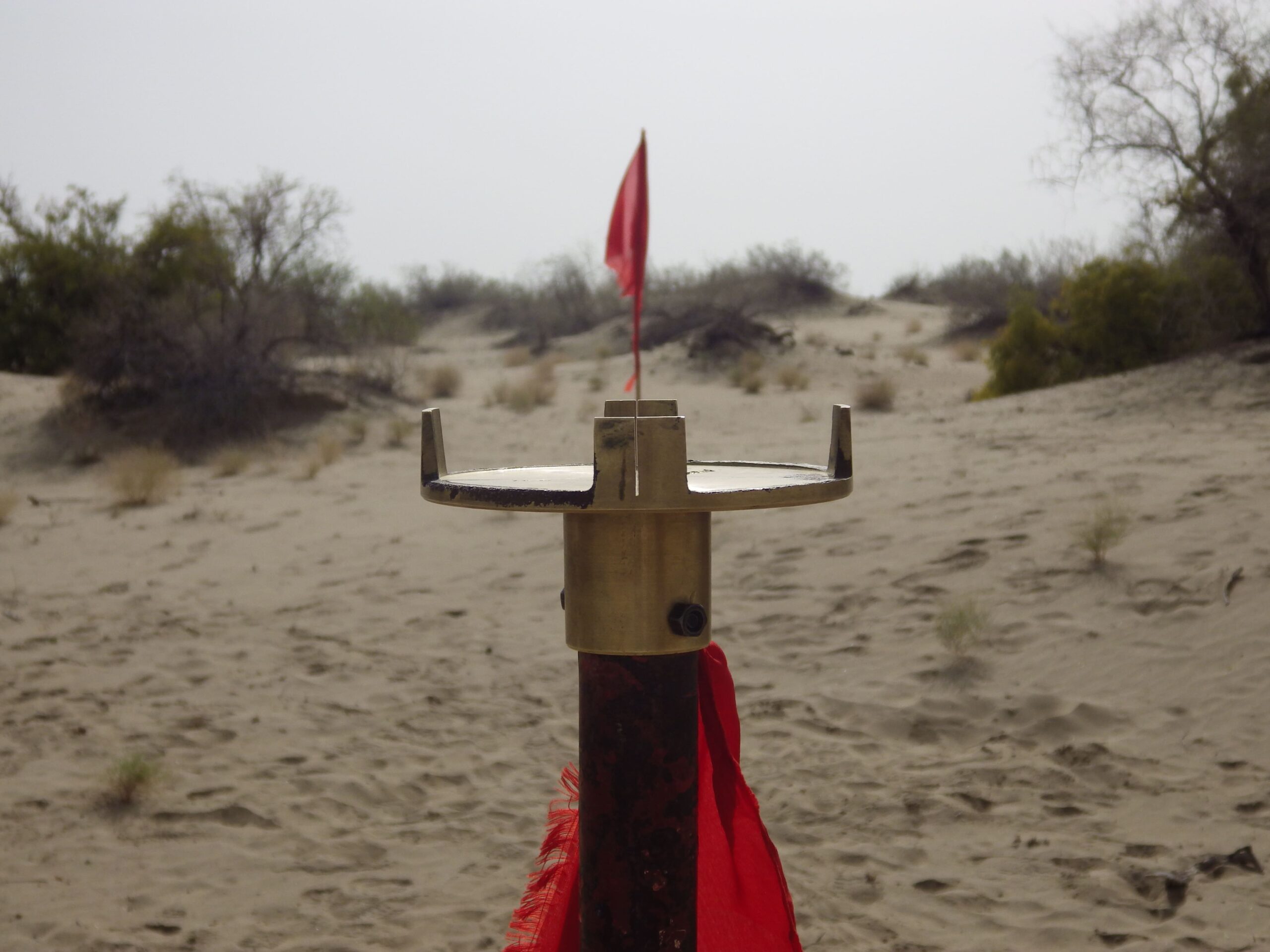
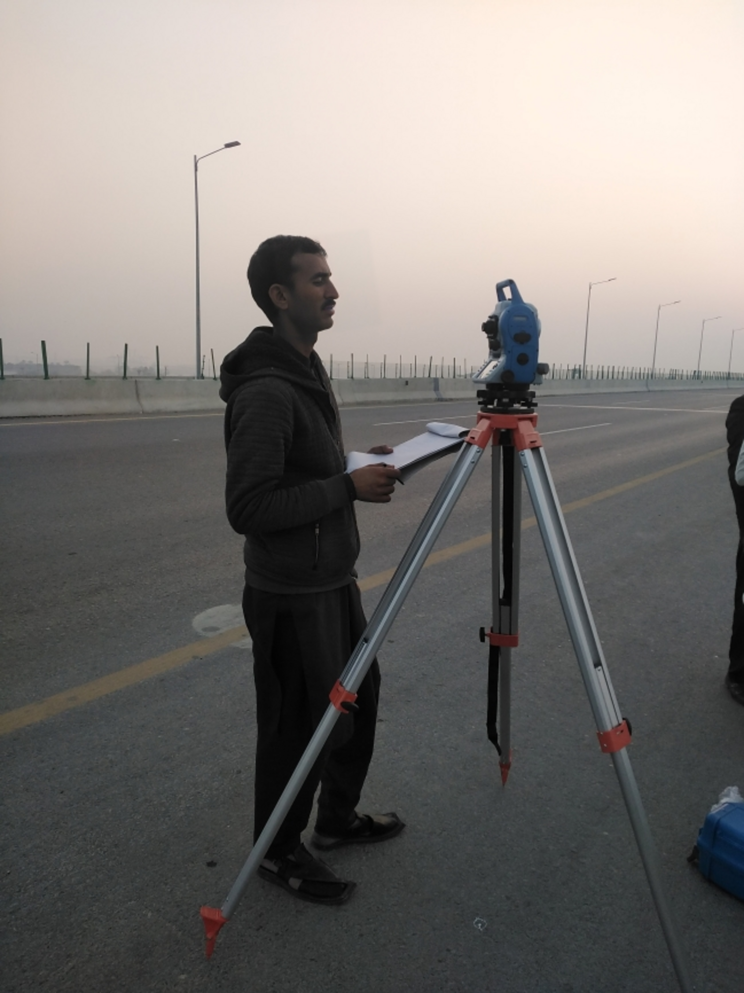
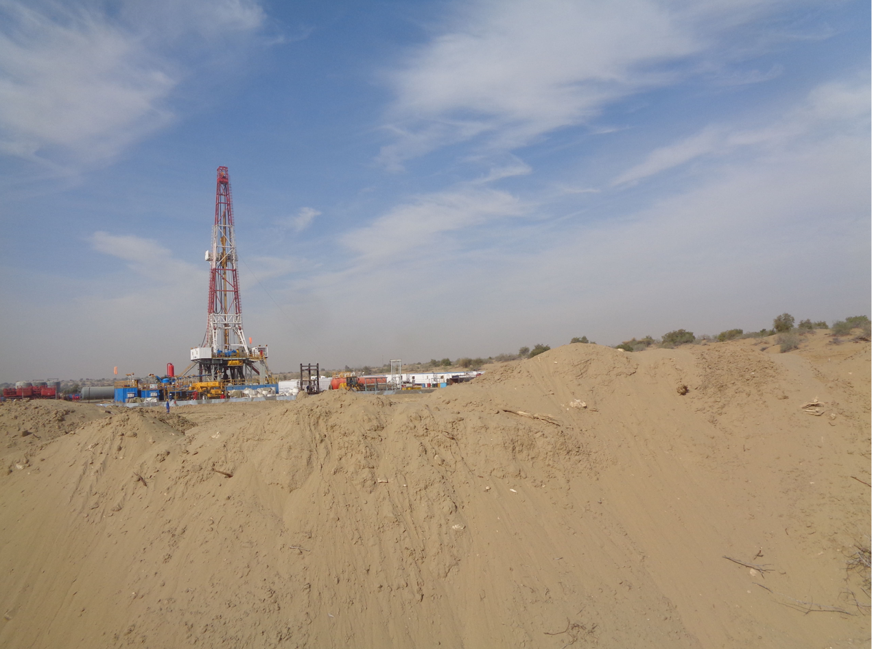
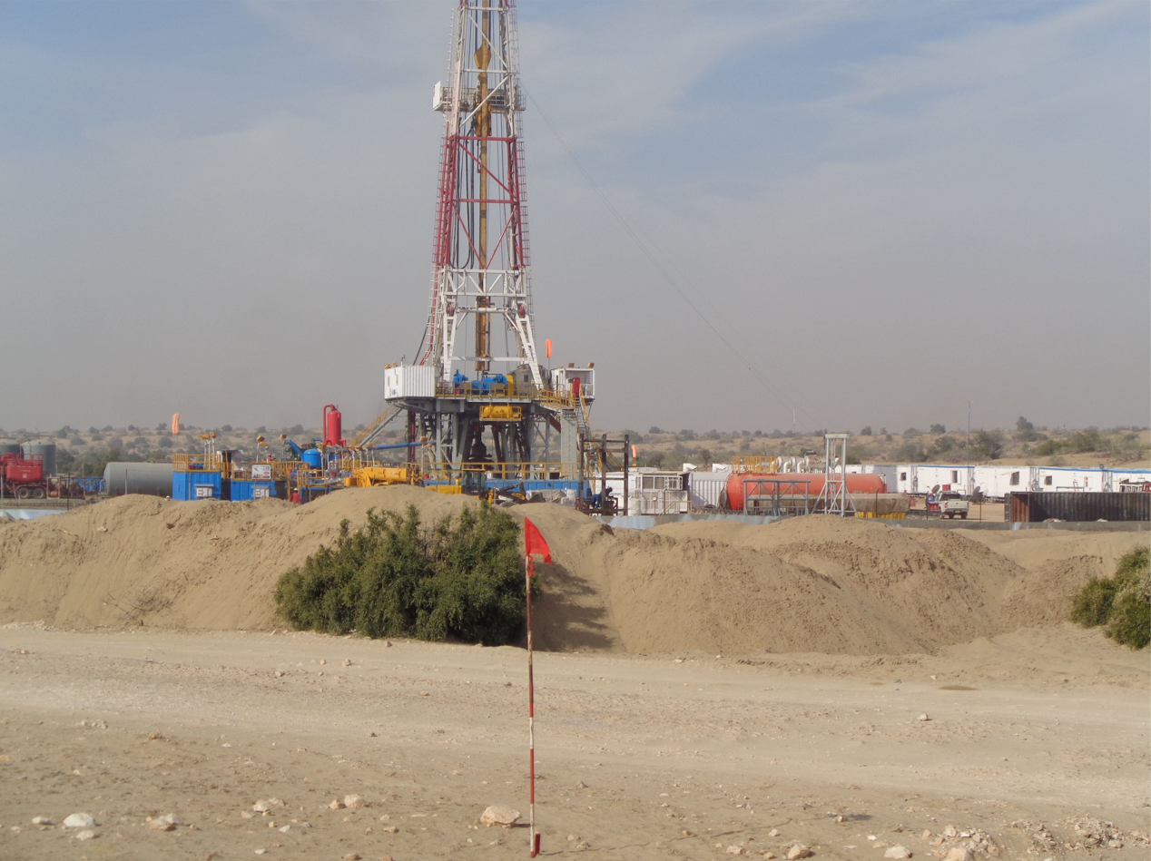
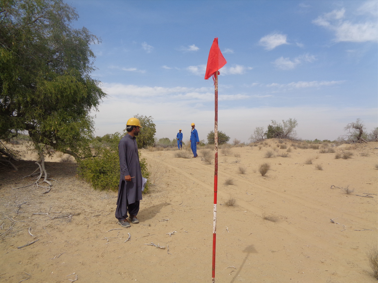
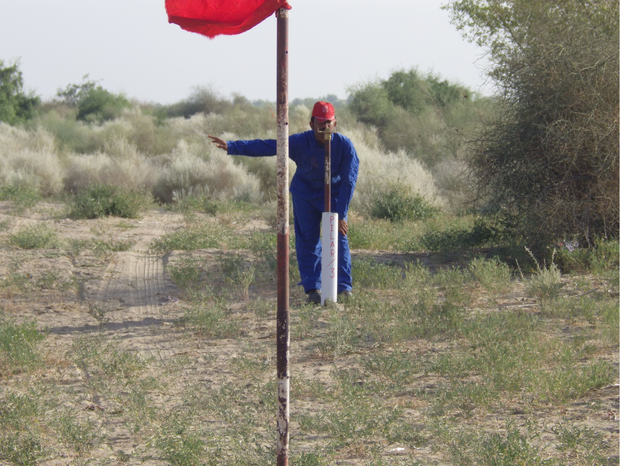
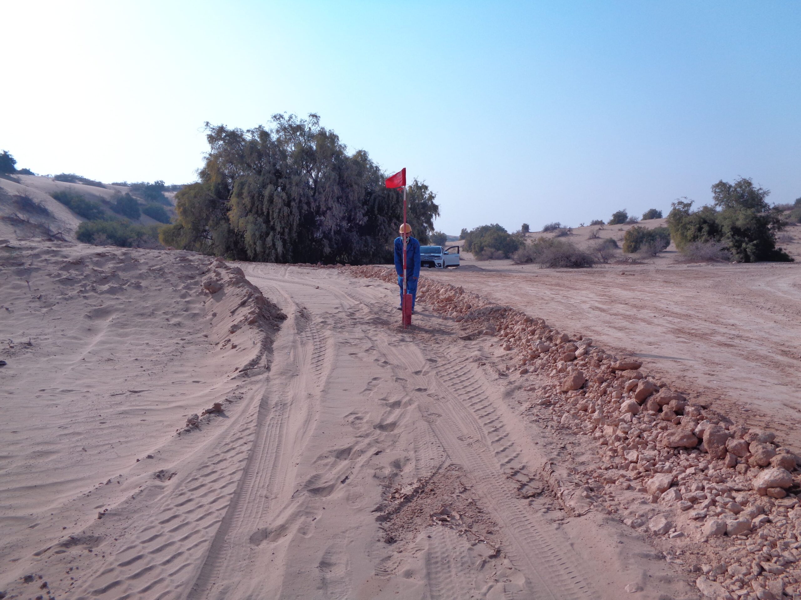
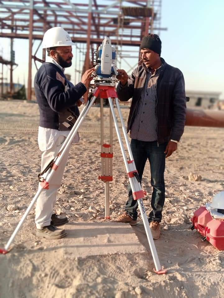
The survey teams of SLS are equipped with latest technology i.e. Geo-diameter Robotic Total Stations and Garmin & Trimble GPS and auto level machines and other equipment. All information is surveyed in 2D or 3D, and ground models are created to provide contoured survey drawings. Besides, SLS also holds primitive technology of Physical land measurement used on the pattern of old British Survey system which today prevails in government survey departments. Through this technology SLS provides maps and prepares land statements accurately.
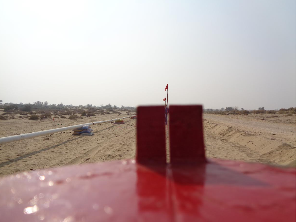
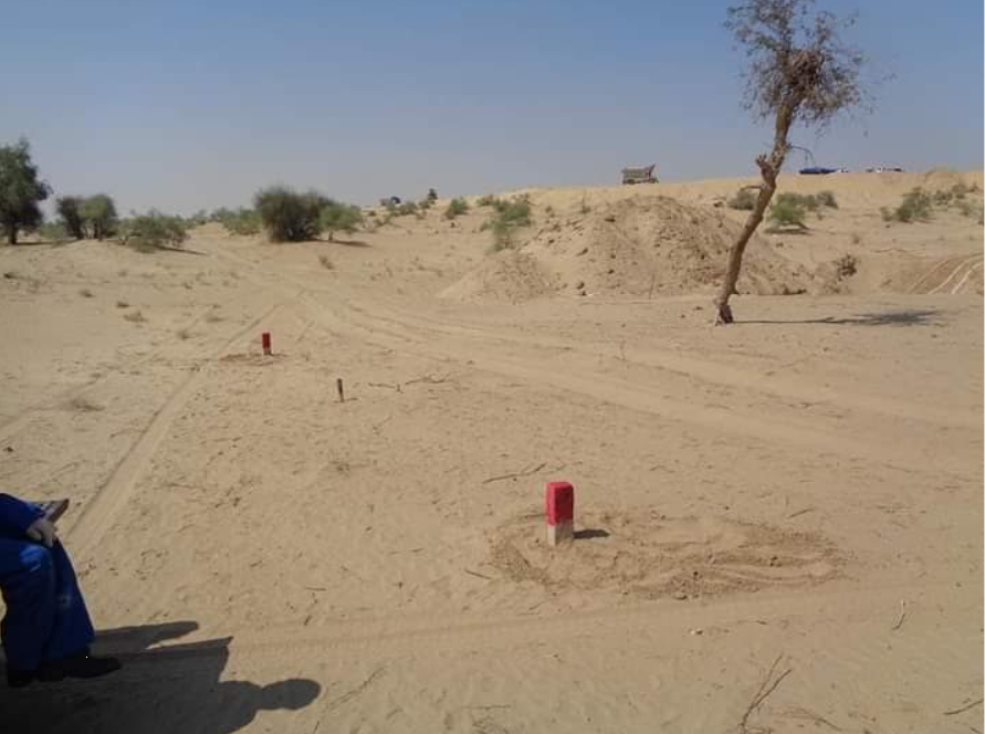
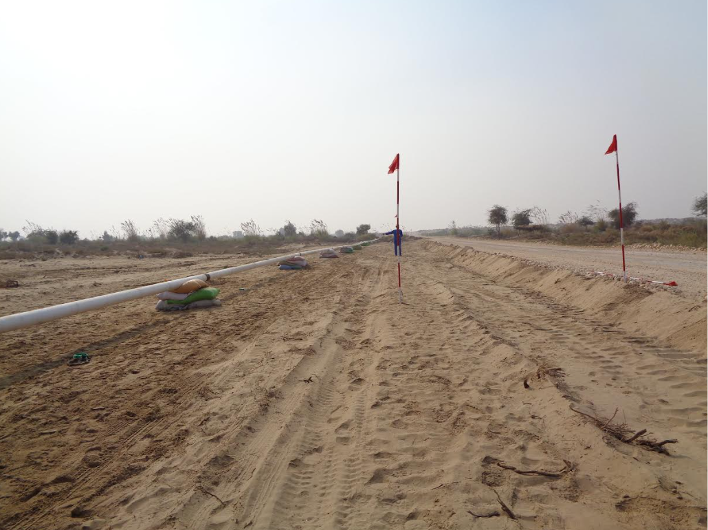
Here is the glimpse of what we do behind the scenes
Copyright © 2023 sajjadlandsurveycompany.com
Website Designed & Developed by Brandstudioz.co


